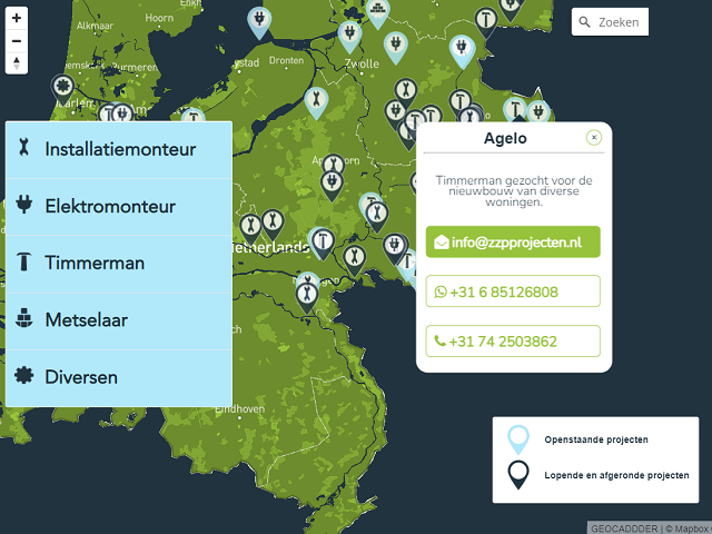
If you have data that does not have the real coordinates and you want it to be georeferenced.
You can also send scanned drawings, which should be digitized first.