


Food Delivery Companies
Online interactive map delivery companies around all over the world

Lights Projects

Architects Holiday
An interactive map, which displays the places for alternative hotel solution, offered by the English company “Architects Holiday”.
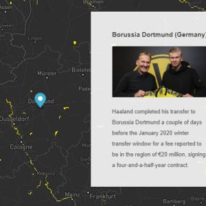
Erling Haaland’s Career
An interactive story map of the most amazing talent in the world – Erling Haaland

DTV Stations Transmitters
Online map of the digital TV station transmitters

Mr. Amsterdam
An interactive map, which show Amsterdam points of interest. The map is used by the Dutch tourism website Mr. Amsterdam.

Dallas Zones
An interactive map, which shows six statistical zones of Dallas, USA. The map also provides different base maps, a search box, a print button and a measurement tool.
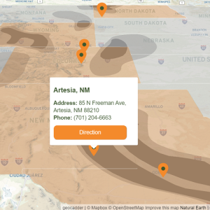
Rolfson Oil Locations
An interactive map, which show all Rolfson Oil company locations in USA.