Satellites Coverage
Online map of satellites coverage
do you like this web interactive map?
I hope you enjoy exploring my portfolio and that it sparks inspiration and curiosity within you. Feel free to reach out to me if you have any questions, feedback, or if there's a potential collaboration you'd like to discuss. Thank you for visiting, and I look forward to sharing my passion and creativity with you!
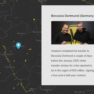
An interactive story map of the most amazing talent in the world – Erling Haaland
An interactive map which shows the locations of the fountains in Bulgaria. The map is part of the project “Zero Waste Sofia”, created by Simona Stiliyanova – co-founder of “Osnova”. I also created a map, which contains only the fountains in Sofia, which is part of the “Stolichna H2O” project.
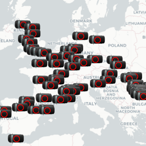
An interactive map of vans positions around Europe. The vans are displayed with animated icons. The data is loaded at some intervals from an external API.
An interactive map, which displays locations of electric vehicles charging stations. The map is created for the French company “Voltaage”.
Online interactive map delivery companies around all over the world
An interactive map, which displays the diverse range of places and activities that you can enjoy from cultural places of interest to events, programmes and projects in the Irish town Edenderry. The map is created for the “Creative Places: Edenderry” project.
Interactive map locator of the GoNano dealers. The user can search by ZIP or an address and the list with the dealers in the sidebar will be updated depending on the distance between the searched ZIP or address to the GoNano dealers locations.
An interactive map, which show the points of interest in the Eltenbergh-Bergherbos nature reserve, which is located at the Netherlands-Germany border. I added custom layers panel outside of the map. The layers are toggled, depending on their type.


